Cesium Curated Content API Overview
Introduction
The Cesium Curated Content API in Bentley iTwin platform offers access to high-quality curated geospatial data from Cesium. This API allows developers to integrate curated 3D tiles, such as Cesium World Terrain and Cesium OSM Buildings, into their applications. The API aims to enhance the visualization capabilities of digital twins and provide enriched geospatial content using the iTwin platform.
Key Features
- Access to curated 3D tiles like Cesium World Terrain and Cesium OSM Buildings.
- Seamless integration with the iTwin platform.
Integrations
The API integrates seamlessly with the iTwin platform, allowing developers to leverage the power of both iTwin and Cesium platforms. Authentication and configuration are required to access the curated content.
Workflow
Configuration Steps
- List Content: Use the
curated-content/cesiumendpoint to retrieve a list of available curated 3D tiles. - Access Tiles: Use the
curated-content/cesium/{contentId}/tilesendpoint to obtain the tile graphics URL for a given content type. Use the URL from the response to fetch tiles contextually as needed.
Cesium Global 3D content available through this API
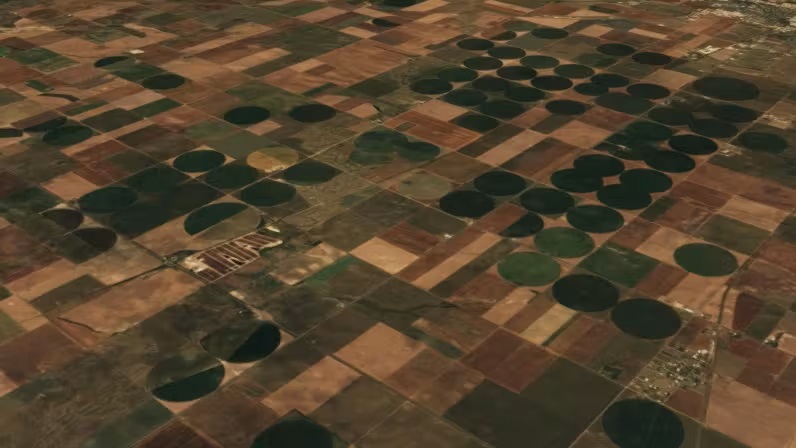
Cesium World Terrain (CWT)
High resolution global 3D terrain with up to 1 meter accuracy, curated from open and commercial sources.
- Get accurate elevation data for planning & analysis
- Create more realistic visualizations by adding your iTwin models, on top of 3D terrain


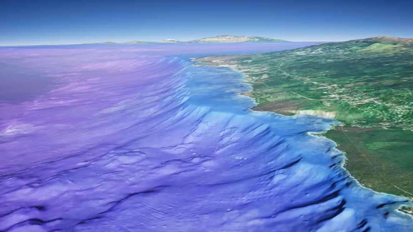
Cesium World Bathymetry (CWB)
A global bathymetry and topographic terrain tileset built upon GEBCO's global dataset and incorporating higher resolution data up to 1m resolution.
- Get accurate depth data below bodies of water for bathymetric use cases
- Use to simulate realistic coastal and underwater environments or to apply bathymetric visualization techniques for analytics
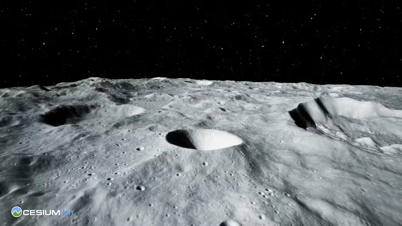
Cesium Moon Terrain (CMT)
The first complete, accurate, and readily-accessible 3D dataset of the moon, built from imagery and terrain data from NASA’s Lunar Reconnaissance Orbiter (LRO) program.
- Get accurate elevation data for planning and analysis using a Moon centric ellipsoid.
- Use Cesium Moon Terrain as a base layer to place models of habitats, vehicles, or rovers on the lunar surface.


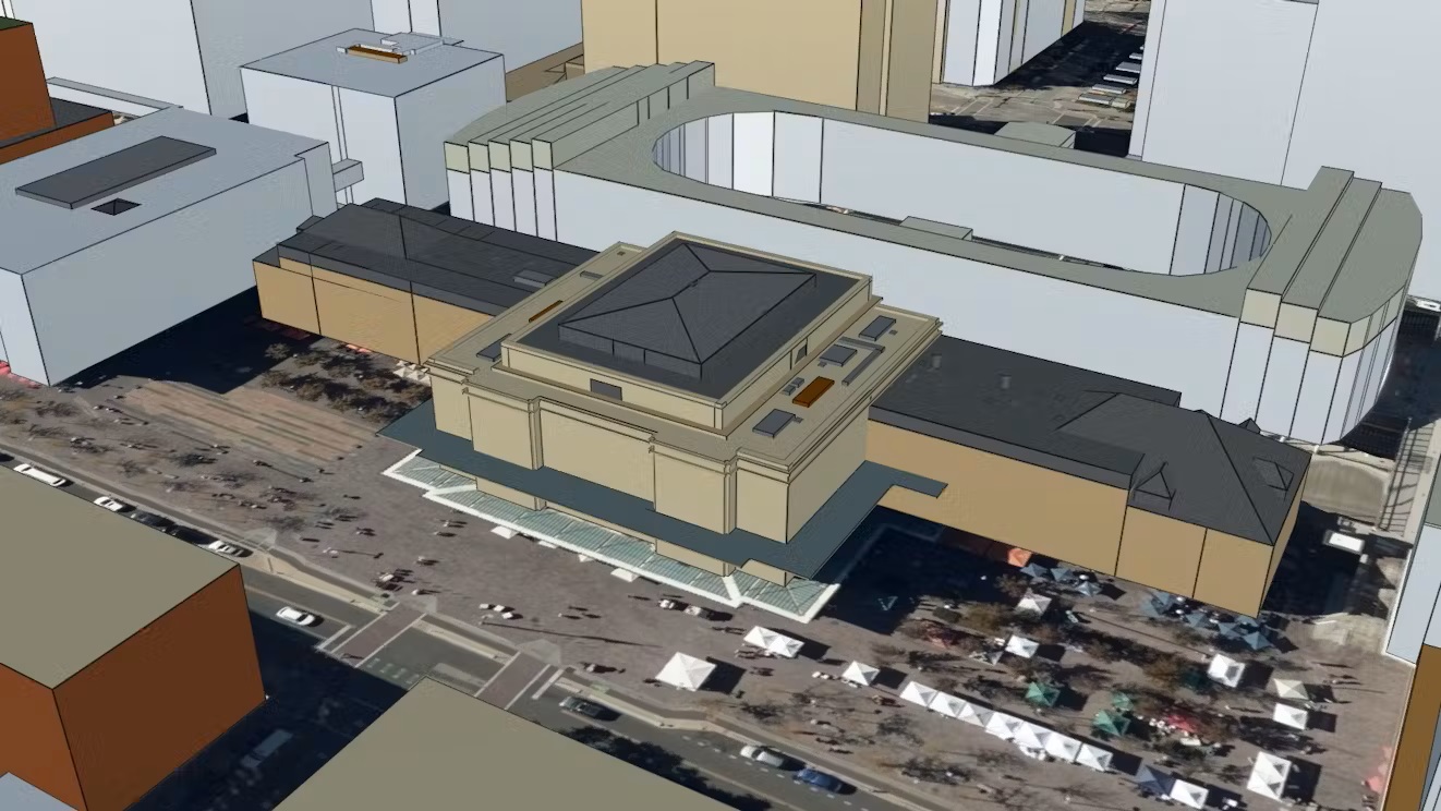
Cesium OSM Buildings
Add real-world context to applications in urban environments with this global 3D buildings layer.
- Use it as a base layer when analyzing patterns in cities across the world
- Combine with your own high-resolution data to build immersive experiences
Japan 3D Buildings
Japan 3D Buildings is countrywide, open source data from Japan’s MLIT PLATEAU Platform that combines over 200 individual ward, city, and village CityGML datasets into one comprehensive tileset.
- 23 Million individual 3D building models in Japan
- Easily access and use this data for building high precision digital twins from a single asset


Sentinel-2 Imagery
Cloudless satellite imagery for the entire world down to 10 meter resolution.
- Add your own iTwin Models on top
Use Cases
Geospatial Visualization: Enhance your applications with high-quality curated Cesium ion geospatial data for better visualization, analysis, and underlay.
Simulation: Integrate curated 3D tiles into simulation applications for realistic environments.
Infrastructure and Building Projects: Use the curated content to visualize and analyze infrastructure and building projects within the iTwin platform.
Was this page helpful?